Translate this page:
| Pincode | 144216 |
| Name | Rajwal B.O |
| District | Hoshiarpur |
| State | Punjab |
| Status | Branch Office(Delivery) |
| Head Office | Dasuya H.O |
| Sub Office | Talwara Township S.O |
| Location | Hoshiarpur Taluk of Hoshiarpur District |
| Telephone No | Not Available |
| SPCC | JAL-144001 |
| Department Info | Hoshiarpur Division Chandigarh Region Region Punjab Circle |
| Address | Punjab 144216, India |
| Services | |
| Indian Postal Code System Consists of Six digits. The first to digits represent the state, the second two digits represent the district and the Third two digits represents the Post Office.In this case the first two digits 14 represents the state Punjab, the second two digits 42 represent the district Hoshiarpur, and finally 16 represents the Post Office Rajwal B.O. Thus the Zip Code of Rajwal B.O, Hoshiarpur, punjab is 144216 | |


Hoshiarpur pronunciation is a city and a municipal corporation in Hoshiarpur district in the Indian state of Punjab. It was founded, according to tradition, during the early part of the fourth century. In 1809 it was occupied by the forces of Maharaja Karanvir Singh and was united into the greater state of Punjab.
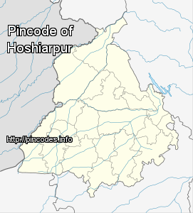
Hoshiarpur has an average elevation of 296 metres (971 ft). Hoshiarpur district is located in the north-east part of the Indian state of Punjab. It falls in the Jalandhar Revenue Division and is situated in the Bist Doab portion of the Doaba region. Hoshiarpur shares a boundary with Kangra district, and Una district of Himachal Pradesh in the northeast. In the southwest, it borders Shahid Bhagat Singh Nagar district, Jalandhar district, and Kapurthala district, and in the northwest it borders Gurdaspur district.
As per provisional data of 2011 cMore Info